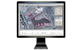
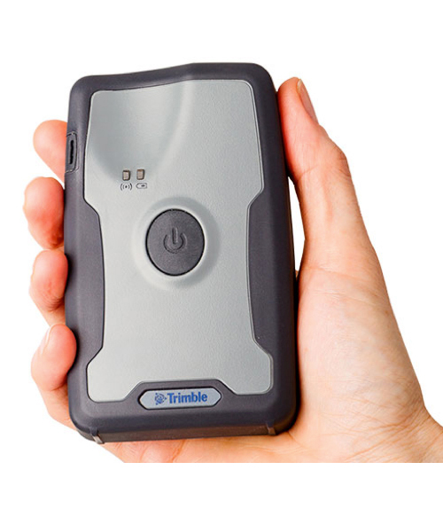
GPS Pathfinder office software

  • Differential corrections to improve the quality of GNSS data collected in the field
  • Quality control of GNSS data before exporting to GIS
  • Data import and export in a variety of GIS and CAD formats

Terrasync software

  • Efficient field GIS data collection and maintenance
  • One-click data capture with Trimble QuickPoint data collection mode
  • Customizable user interface simplifies field operation

GEO Explorer 5 series

  • Work seamlessly with Trimble software and GIS workflows
  • Efficient GNSS data collection and inventory
  • Capture high quality photographs and link directly to features
  • High-speed Internet connectivity in the field

GEO 7 Series

  • Trimble Flightwave remote positioning technology Easy and productive data capture of assets with remote measurement
  • Trimble Floodlight satellite shadow reduction technology More positions and increased accuracy in tough GNSS environments

Juno 5 Series

  • Familiar, easy-to-use, smartphone form factor
  • Works with professional software for GIS workflows
  • Big, sunlight-readable screen
  • Stay in touch with the office— integrated communications available

YUMA 2 RUGGED Tablet Computer

  • Windows 7 tablet for GIS in the field
  • Enhanced direct sunlight- readable display
  • Ultra rugged tablet form factor
  • Configurable options4 to best match data collection workflows

Nomad 1050 Series Handhelds

  • Ultra-rugged handhelds built to work in challenging environments
  • Long battery life extends time in the field
  • Enhanced computing power and 8 GB memory for fast processing of field data
  • Field to office connectivity with wireless data communications
  • Simplified and fast asset tracking with optional 1D/2D integrated barcode scanner
  • Compatible with Trimble GIS software for complete field-to-office workflows

R2 GNSS Receiver

  • Professional solution for GIS applications ranging from submeter to centimeter accuracies
  • Easily collect data by pairing with devices such as smartphones, tablets or Trimble handhelds
  • Fast to setup, easy-to-use, keeping you productive and focused on your work
  • Supports multiple satellite constellations and correction sources for accurate data at any location
  • Trimble Maxwell 6 chip with 220 channels and leading GNSS technology maximizes data quality

R1 GNSS Receiver

  • Small, rugged, lightweight GNSS receiver for great mobility
  • Flexibility to choose your data collection device
  • Bluetooth connection to Trimble handhelds or consumer-grade smart devices
  • Provides higher-accuracy location data
  • Flexible, professional data collection in more places
  • Optional ViewPoint RTX provides submeter accuracy via IP or satellite

Mapping & GIS: Software

Data Management

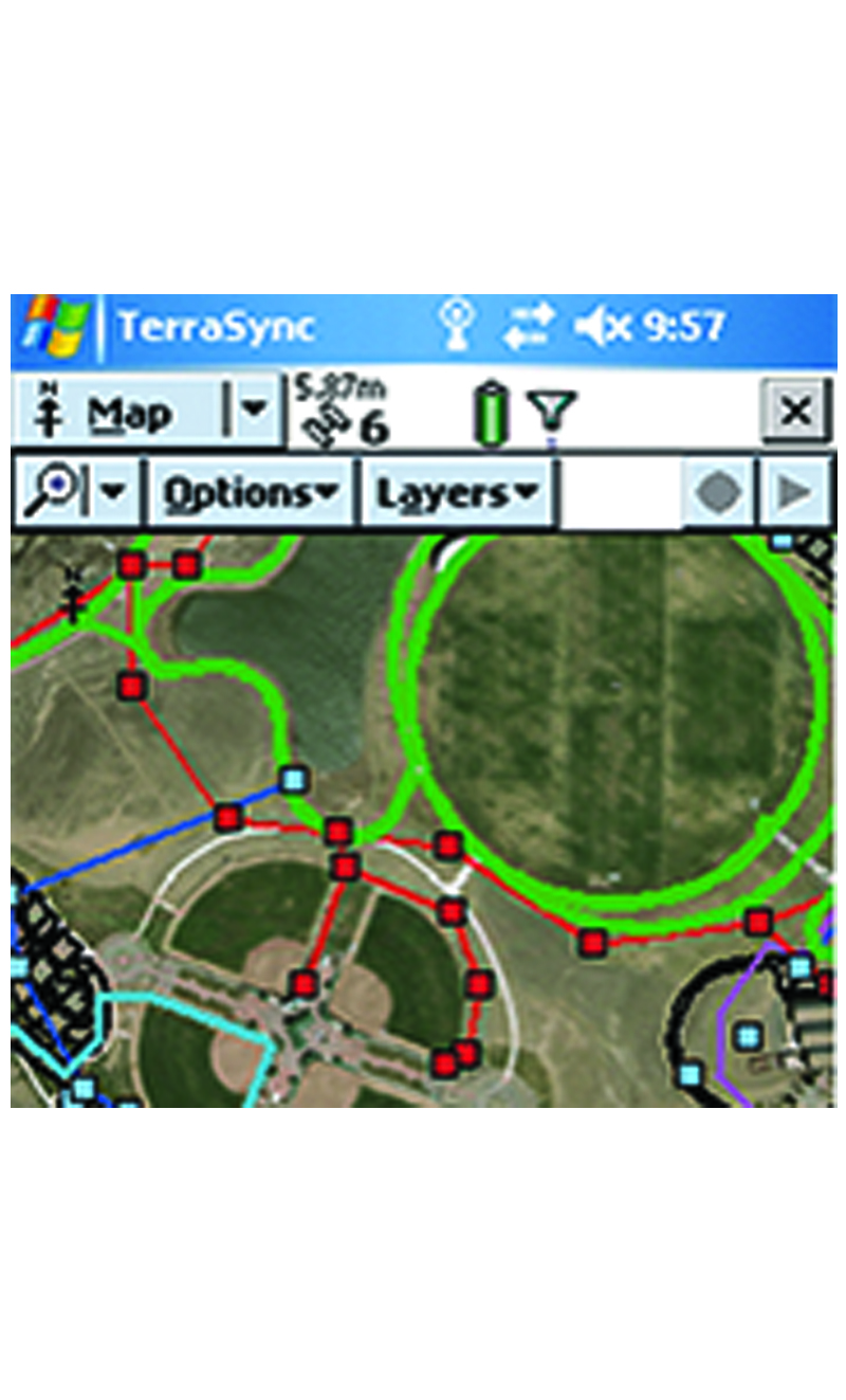
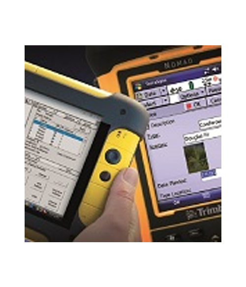
    Trimble offers a range of field and office software solutions designed for Mapping & GIS applications. Whether you need to populate a GIS for the first time, update your existing GIS database, or simply view and query GIS data in the field, Trimble's software tools ensure you maximize productivity and data quality.